Overview
Overview
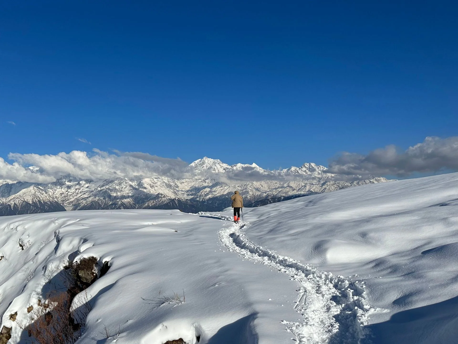
The most well-known trip in India is without a doubt the Roopkund trip. High altitude glacial lake Roopkund, often known as Mystery Lake, is found in the Indian state of Uttarakhand. Famous for the hundreds of human remains discovered around the lake, Roopkund rests on the lap of Trishul mountain. About 15,700 feet above ground level is the Roopkund, lake. It’s an excellent place to hike because it’s bordered by snow covered mountains and rock-strewn glaciers. The path to Roopkund runs over the two Bugyals of Ali and Bedni. You get incredible views of mountains like Kedarnath, Chaukhamba, Neelkantha, Trishul & Nanda Ghunti all along the Roopkund trek. Roopkund Trekking has several very gorgeous campsites. Given its reasonable plus difficulty level, Roopkund is advised for experienced hikers. Best times for Roopkund travel are May through June and September through October. This website has everything you need to know: Roopkund trek route map, itinerary, temperature, weather, height, photographs, videos. Turn to the last page and peruse some incredible Roopkund journey blogs.
Itinerary
Rishikesh to Lohajung (8-10 Hours Drive)
Beginning your journey early from Rishikesh, travel for Lohajung, the base camp for many Himalayan treks. The picturesque eight to ten hour trip winds you over meandering mountain roads, verdant woods, and little towns. As you climb, enjoy expansive vistas of the calm rivers and snow-capped summits. By the time you get in Lohajung, you will be experiencing the fresh mountain air and excitement about the journey forward. Once at Lohajung, choose your lodging, see the little town, and get ready for the trekking trip starting the next day.
Lohajung to Didna Village (5-6 Hours Trek)
The trip starts today. After a great home-cooked breakfast, the journey starts on a flat surface with a few foot elevation on the jeep highway till Wan, the town. Kulling is 6km from Lohajung and a half-hour walk on flat ground. Kulling is a peaceful hamlet in Garhwal with a tiny population surrounded by environment. The air is fresh and exotic birds are seen fast. After resting at Kulling, turn right and gently descend into the settlement. First, you’ll see a broad concrete plain that cuts across farmland and residences to a brook. Streamrunner Neel Ganga. The stream descends to Neel Ganga’s bottom. Continue across the concrete bridge and ascend the left-hand hill. The left-hand track is somewhat screaming and ends in Didna at 2450m (8000 feet). The journey passes through evergreen alpine woods and enormous trees. Reach the ridge crest after two hours of climbing. Views ahead are magnificent. The large open areas at this high elevation in the Alps are surprising. Didna and Kuling, two nearby settlements, attract similar hikers and visitors. The first is popular in monsoon and summer, the second in winter. The trip concludes at 3pm, followed by a delicious supper. About 10km are covered daily. Old guesthouses are available for the night.
Didna Village to Ali Bugyal (6-7 Hours Trek)
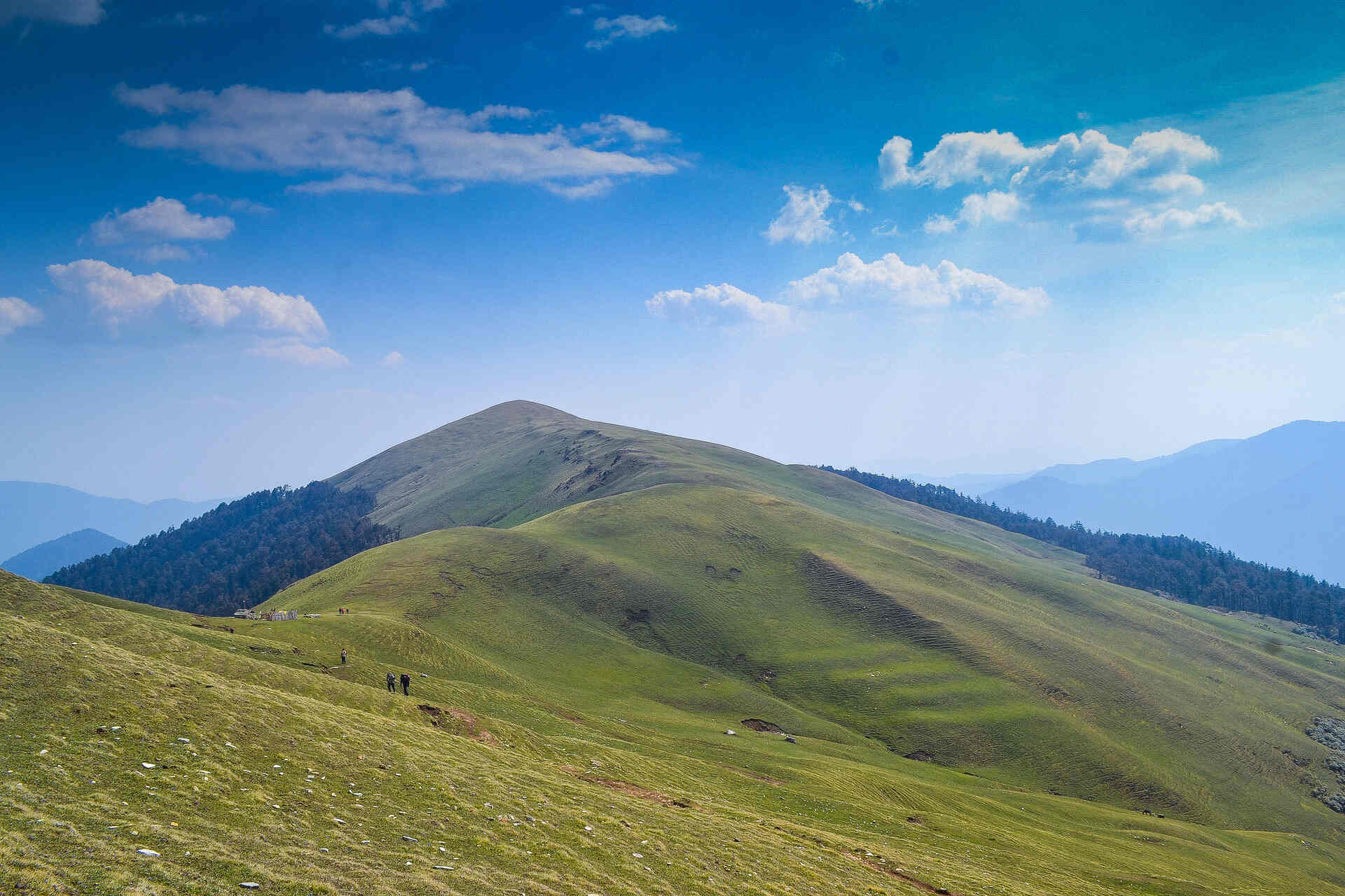
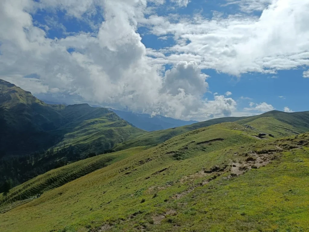
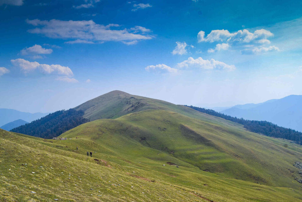
Today’s hike takes you to Ali Bugyal, one of the country’s highest-populated towns at 3400m or 11000ft. Ali Bugyal is atop the mountaintop and visible from Didna. Summiting the peak is the goal of the journey. After the first rise, the route leaves the settlement. The right track ascends moderately. The Tolpani shepherds’ makeshift huts and enormous flocks of sheep are stunning to witness. They’re really friendly to guests. Offering to share their food is considered kind. However, the left track is shorter but steeper. It doesn’t matter which one you select since both will get you there. Only oak, birch, and rhododendron trees flourish in these areas and are gorgeous and huge. Locals say tourists in spring may witness the valley’s breathtaking view decked with hundreds of colorful Rhododendron blossoms. After climbing the mountain, the forest line eventually retreats and meadows arise. After 3-4 hours of climbing, Ali Bugiyal welcomes you to the most stunning Himalayan meadows. The landscape is beautiful, like Windows XP’s default background. Summertime cows and horses graze meadows covered with brightly colored grass and blossoms. The tallest Himalayan peaks in this area, Trishul and Mrighthuni, are easily seen in clear weather. The beautiful Trishul begs to be climbed and seems to hide something. After crossing meadows, there is a little rise. Another 30 minutes of trekking will get you to Bedni, your third-day campsite. After lunch, visit Bedni Kund shrine to view the Garhwal Himalayas in all their glory if the weather is clear.
Ali Bugyal to Patar Nachauni via Bedni Bugyal (5-6 Hours Trek)
On the fourth day of the trip, you could choose to start somewhat later and relax a little bit longer. Gora Lutani is the perfect camping location; your future camp site is discovered there. Keep on your trek and enjoy the breathtaking surroundings in the area. You will come across Patat Nacholi, a somewhat remote and unproductive landmass, on route. Today is a tough ascent from 12,500ft up to 14,500ft. Your legs will hurt from the altitude and constant walking; you will start to experience some of the shifting weather coupled with the thin atmosphere that can lead to respiratory problems. Still, the breathtaking surroundings will be enough motivation for you to get there. The good energy that is floating about helps you to forget all of your problems. About ten kilometers of travel have brought the day’s camping location. Ghora Lotani will make sure you get the ideal night’s sleep; yet, because today is an exciting day ahead, waking up early is crucial.
Patar Nachauni to Bhagwabasa (4-5 Hours Trek)
Get up early to prepare for the hardest trekking day. Stretch and have a nutritious breakfast. Remember that today’s trek is 10km on a high hill. Walk to Bagubasa at 14000ft. This road passes Kalyuvinayak temple. The most thrilling aspect of visiting the temple is climbing 2 kilometers, or 200ft. The path to the temple is quite rough and zig-zag. Protective gear and clothes must be ready before the walk. Slow and careful walking is advised. One error might mean catastrophic injury. Since no reward comes without suffering, the highest point holds the rewards. I don’t understand why someone would construct a temple that high. The centuries-old temple is largely traditional. Altitude makes breathing harder and reduces oxygen, which may cause headaches and severe stomach discomfort. Just take a break for a few minutes. The precise stone carving of the temple invokes heavenly power. Roopkund is seen from the town center temple. The hike ends in Roopkund. The vista of shimmering Trishul and bell-shaped Nandagunti is magnificent. The difficult route to Bhaguabasa, 1km away, may also be followed. The area has unique features including monsoon-only flowering. The landscape seems rugged and easy to navigate at 14000ft, the greatest height.
Bhagwabasa to Roopkund Lake and Back to Patar Nachauni (7-8 Hours Trek)
Rise early for the goal. The top destination is Roopkund. At around 16000ft, it’s the walk’s highest point. The path isn’t hard to climb or walk, but the four-mile stroll might wear you out. Walking is hard, right? Monsoon snow is lighter and less compacted, making the way clearer. Starting from Bhaguabasa, go to Chhirianag, meaning ladder-like snake. Continue to the next checkpoint. One of the world’s most intriguing places is Skeletons’ lake. Even archaeologists and biologists are puzzled by the lake’s many remains. A hailstorm killed the king and his warriors as they traveled to Nanda Devi, according to legends. You could see 300 human skulls on the lake coast if you’re lucky. This is magnificent and captivates tourists. The trail from here is steep and difficult. The hike ends at Nanda Devi Temple. Near and in the Biosphere Reserve. A fantastic site for photographs with friends and other hikers. Co-climbers may risk climbing the 16700-foot Junargali pass depending on weather. Without meteorological disruption, the ascent takes 45 minutes. You must pass via Bhagwabasa on return. These locations stimulate and thrill. The descent is twice as hard as the ascent. So steep, you may be afraid to tumble from the summit. You’ll find Bhagwabasa, the Tiger’s dwelling, underground. Climb 12500 feet to reach PatarNachuni. Backtrack via Ghora Lautani to Bedni Bughyal. Camp among the lovely foliage to end the day. This is among the longest. It takes 10–15 hours to traverse 15 kilometers. Legs demand a lot of sleep, thus they’ll make you sleep deeply. Before sleeping, remember that the walk was difficult and required a lot of determination.
Patar Nachauni to Wan, Drive to Lohajung (5-6 Hours Trek, 1 Hour Drive)
The 7th day may be the last day of the journey, when you hike to camp on Day 1. Descending and rising are distinct, yet the path is the same. You’re on the correct track the second time, and it seems easier than the day before. Wooden cottages appear on the route for the first time. After some walking, you’ll see the road divide into two lanes. The proper one must be chosen. As you descend, you’ll notice the forest with trees lining the road. Birds tweeting and cool, aiwin passing your ears are unusual. Hikers must take each step cautiously to avoid injury due to the varying grade. Shortcuts may seem tempting, but the terrain is difficult, so avoid them. Walk a few meters to the Gahroli Patal, an opening in the deep jungle. Continue till you reach the Neel Ganga. Journey continues to Wan (Ran Ka Dhar) village from the river’s bed. Village Wan is your next stop before descending farther. Wan, a vast hamlet with mountains and hills, is like home and offers a lifelong perspective. After a few hundred yards, you see the truck waiting for you. It takes 10 hours to drive 18 kilometers in a day. Wan to Lohargunj takes around an hour. Your journey is tough. When you return to the tourist guesthouse, you may reminisce and rest on the nice mattress.
Lohajung to Rishikesh (8-10 Hours Drive)
It’s time to return from Lohajung to Rishikesh after your walk. The eight to ten hour picturesque trip follows your route via breathtaking valleys and mountain settings. As you descend, enjoy your last views of the Himalayan mountains and verdant surrounds. Along the road, take pauses to stretch your legs and soak up the vues. Once at Rishikesh, consider your journey, rest by the Ganges, and maybe savor the serene atmosphere of this spiritual town to help you to decompress after the trip.
Price Inclusion & Exclusion
- Meals: You’ll enjoy tasty vegetarian meals throughout the trek, including breakfast, lunch, evening snacks, and dinner.
- Where You’ll Stay:Tents (double or triple sharing) with cozy sleeping bags and mats.A comfortable hotel or guest house on the first and last day of your journey.
- Trekking Essentials: We’ve got you covered with gear like microspikes and gaiters, depending on the snow conditions.
- Expert Guidance: Our experienced and certified guides will lead the way, with a supportive and friendly crew by their side.
- Permits: All necessary forest permits are taken care of.Health & Safety: We’re prepared with first aid kits, oximeters, and oxygen cylinders for your safety.
- Clean & Hygienic: Rest assured, our campsites and hotels are neet and clean and safe stay.
- Getting There: Transportation to and from Lohajung isn’t included.Personal
- Expenses: You’ll need to cover your own toiletries, snacks, drinks, and other personal items.
- Insurance: Personal travel insurance isn’t part of the package.
- Porter Services: If you need help carrying your stuff, porters can be arranged for an extra cost.
- Unexpected Costs: Any extra expenses due to unforeseen events like landslides or other natural calamities aren’t covered.
- Anything Else: Any additional costs not specifically mentioned in the inclusions
Packing List: Essential Things
- 45-60 Ltr Bag Pack With Rain Cover & Comfortable Straps
- Hot & Cold Water Bottle Like Borosil & Milton
- Energy Bar, Dry Fruits & ORS
- 1 Pairs Of Sunglasses (U/V Protected)
- 1 Neck Gaiters (Buff)
- Tiffin Box
- 2/3 Full Sleeves (Non-Cotton)
- 1 Full Fleece T-Shirt
- 1 Fleece Jacket (Woollen Or Sweater)
- 1 Down Feather/Hollofil Jacket
- 1 Waterproof Jacket/Poncho
- 1 Pair Thermal Inners (Upper And Lower)
- 2 Trek Pants (Avoid Shorts & Denim Pants)
- 1 Pair of Waterproof Gloves
- 1 Pair of Woollen Gloves
- Sun Cap
- Woollen Cap
- 4 Pairs Of Cotton Socks
- 1 Pair Of Woollen Socks
- 1 Waterproof & High Ankle Trekking Shoes
- 1 Pair Of Floaters
- Hand Sanitizer & Sunscreen Lotion
- Toothbrush And Toothpaste
- Toilet Paper And Wet Wipes
- Quick Dry Towel
- Lip Balm & Antibacterial Powder
- Moisturize
How To Reach
To travel from Kashmiri Gate ISBT in Delhi to Rishikesh, you can board an official bus directly from the terminal. Kashmiri Gate ISBT is one of Delhi’s main inter-state bus terminals, with frequent buses to Rishikesh. The journey usually takes 6 to 7 hours, depending on traffic. Reliable options include the Uttarakhand Transport Corporation (UTC) buses, as well as other government-run services. For a more comfortable ride, consider booking a Volvo or deluxe bus, as these are air-conditioned and generally have fewer stops, offering a smoother experience.
Upon arrival in Rishikesh, the bus will drop you at the Rishikesh bus stand. From there, you can easily take a local auto-rickshaw or taxi to your accommodation or popular destinations like Ram Jhula, Lakshman Jhula, or Triveni Ghat, which are well-connected by local transport.
Booking your ticket in advance is recommended, especially during peak seasons or weekends, to ensure you secure a seat. For a more comfortable journey, carry snacks, water, and light clothing. A morning departure is ideal, allowing you to reach Rishikesh by afternoon, giving you ample time to explore the city.
Fly to Jolly Grant Airport; daily flights from this nearest airport to Dehradun link to Delhi.
Nanda Devi Express (12205) departs from New Delhi at 11:50 PM, reaching Haridwar at 3:50 AM. From Haridwar, it’s just a 20-kilometer ride to Rishikesh via taxi or auto, making it a convenient overnight option.
Jan Shatabdi Express (12055) departs at 3:20 PM, reaching Haridwar by 7:33 PM. This is a comfortable afternoon train, ideal if you want to arrive in the evening. A short 30–40 minute drive takes you from Haridwar to Rishikesh.
Mussoorie Express (14041) leaves Delhi at 10:20 PM, arriving at Haridwar around 5:45 AM. It’s another overnight option, letting you reach early to make the most of your day in Rishikesh.
Each train provides flexible timings, and once in Haridwar, local transport options make it easy to complete the journey to Rishikesh.
Other Information
The Roopkund Trek is best done in the summer, from May to June, then subsequently in the fall months of September and October. These are quite consistent periods for the temperature, and the hiking conditions are perfect. Making ensuring your trip is safe and fun depends on timing it within these seasons.
The moderate to tough Roopkund hike calls for careful planning. One should be aware that doing this walk without the required preparation can provide major difficulties. Roopkund is not too strenuous, but neither is a casual stroll either. Those who are underprepared typically find it difficult to keep up and concentrate on their footsteps instead on the breathtaking surrounds. Sadly, sometimes our seasoned guide is obliged to accompany underprepared hikers back to base camp only a few days into the trip, therefore interfering with their journey.
Culture and Historical Significance
Renowned glacial lake Roopkund is found in the Indian state of Uttarakhand More than 500 human remains found along the lake’s margins make the lake renowned. Located 4,800 meters above sea level in the Himalayas, it is Roopkund is located inside Garhwal’s Chamoli area. Among Garhwal’s finest destinations for treking is this one. It resembles Indian hills like Kathgodam and Nainital. Roopkund is one of the best adventure destinations for those living in the nation as well as those who go from outside; it is 217 kilometers from Nainital and 235 kilometers from Kathgodam. Often known as the “mystery Lake,” Roopkund is situated within Trishul mountain. On the shores of the lake are human remains. They are thought to be part of the Palaeolithic era. Without a doubt, the Roopkund Trek is the most well-liked trek in India. High altitude glacial lake Roopkund, often known as Mystery Lake, is found in the Indian state of Uttarakhand. Famous for the hundreds of human remains discovered around the lake, Roopkund rests on the lap of Trishul mountain. About 15,700 feet above ground level is the Roopkund, lake. It’s an excellent place to hike because it’s bordered by snow covered mountains and rock-strewn glaciers. The path to Roopkund runs over the two Bugyals of Ali and Bedni. You get incredible views of mountains like Kedarnath, Chaukhamba, Neelkantha, Trishul & Nanda Ghunti all along the Roopkund trek. Roopkund Trekking has several very gorgeous campsites. Given its reasonable plus difficulty level, Roopkund is advised for experienced hikers. Best times for Roopkund travel are May through June and September through October. This website has everything you need to know: Roopkund trek route map, itinerary, temperature, weather, height, photographs, videos. Turn to the last page and peruse some incredible Roopkund journey blogs.
Gallery


FAQs
The Roopkund Trek is ideally timed for summer (mid-Apr to Jun) and fall (Sep to mid-Nov).
Roopkund Trek takes eight days to complete.
Indeed, particularly if you are a novice or have little expertise trekking, it is strongly advised to engage a professional expert for the Roopkund Trek. Professionals can help you much with knowledge of the local topography, climate, and culture as well as with expertise in They also guarantee your safety all through the trip and assist with navigation.
The Roopkund Lake, great views of Chaukhambha Range, Kedarnath, Kedar Dome, and Neelkanth Peak, camping in idyllic locations define the highlights of the Roopkund Trek.
The Roopkund Trek’s highest height attained is 15,696 feet.
Roopkund Trek covers 53 kilometers.
You will stay in a guest accommodation in the base camp for the Roopkund Trek; up the slopes you will be living in tents (twin-sharing).

